Services
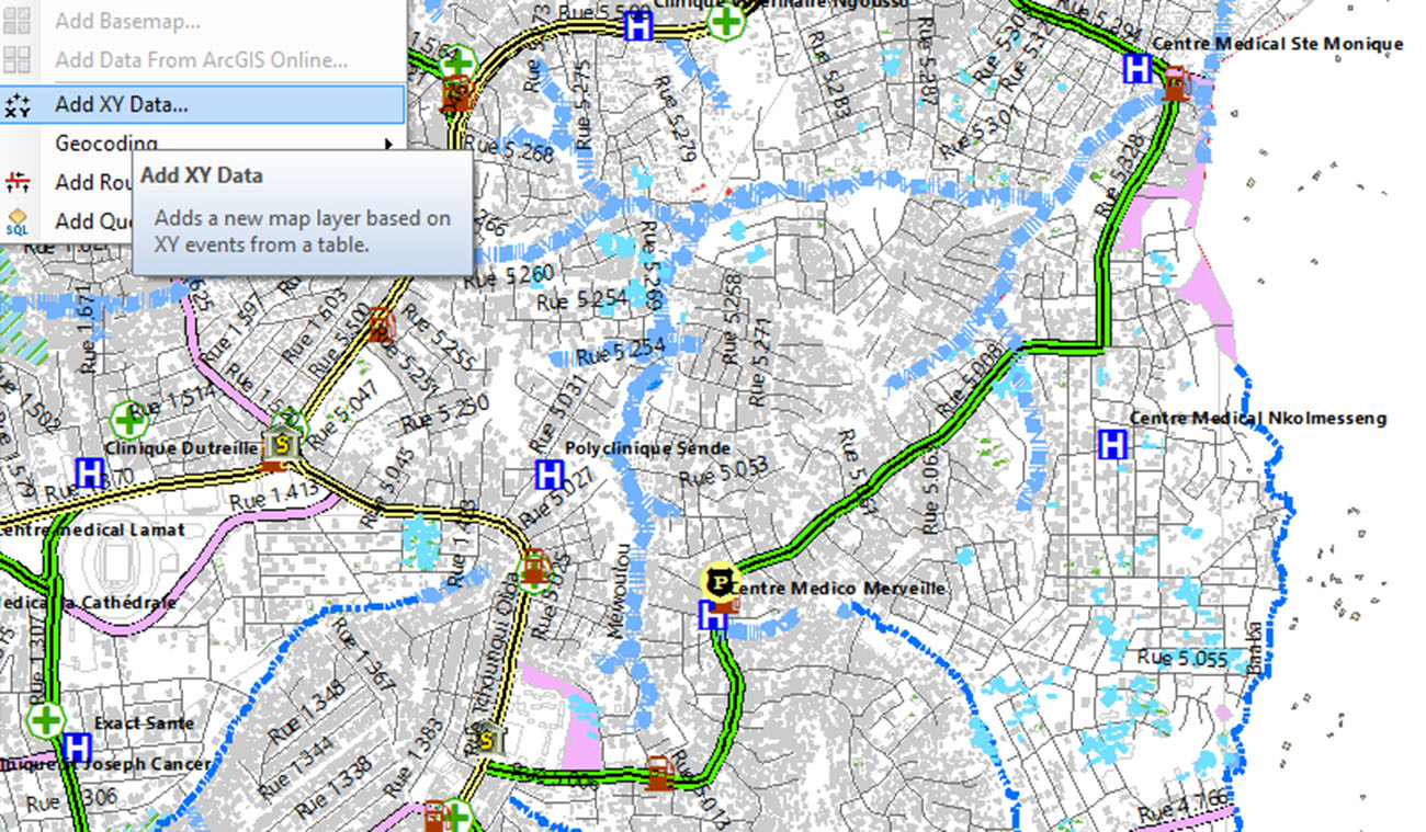
- Production and analysis of site or intervention maps
- Capacity development (physical and moral persons)
- Topographic and geospatial analysis of evaluation areas
- Development and maintenance of national level geospatial databases
- Design and implementation of SDIs (Spatial Data Infrastructures)
- Implementation of web catalogs and aggregators
- Collection and analysis of geospatial information
- Geospatial analysis of ecological and biophysical characteristics of areas
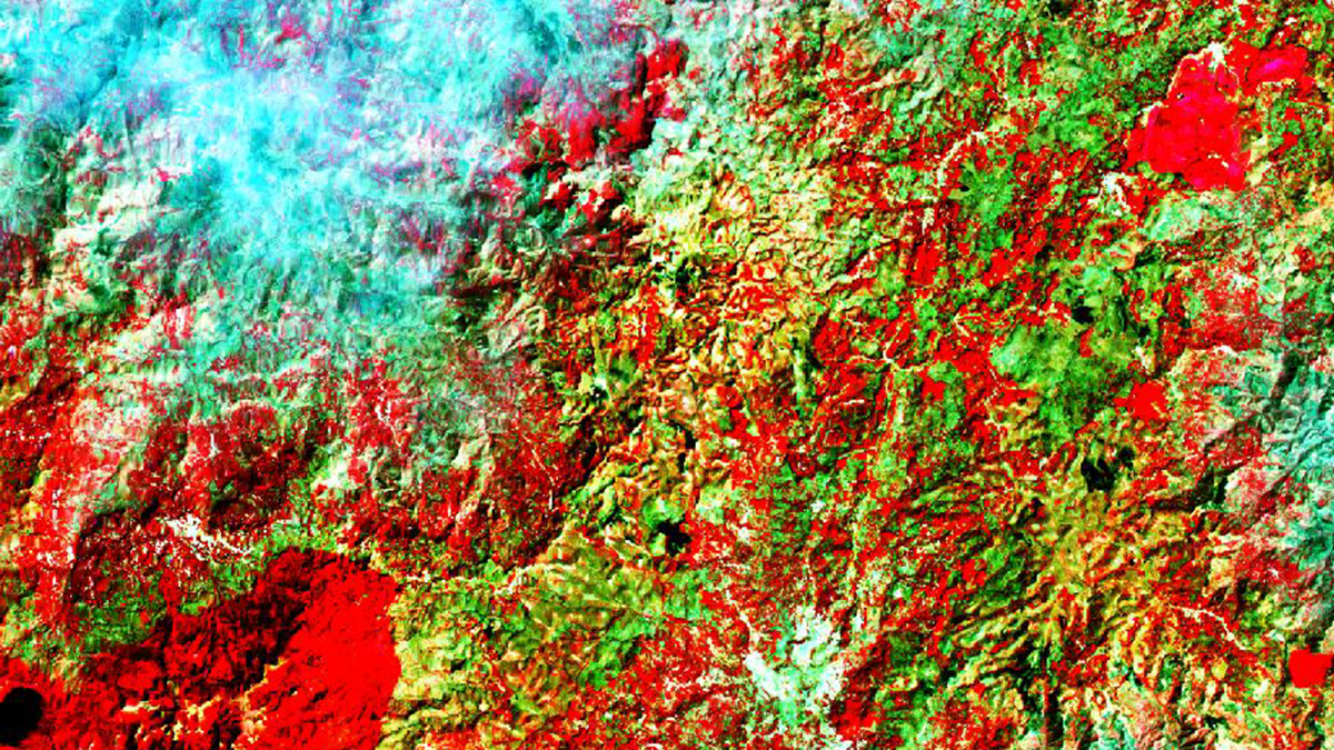
- Management of natural resources using GIS and remote sensing
- Electrical modeling and planning for access to energy (GEP/OnSSET, Hydroelectric, renewable, wind energy)
Services TIC & SIG
- Collecte et analyse de l’information géospatiale
- Production et analyse des cartes
- Développement des capacités (Personnes physique et morale)
- Analyse topographique et géospatiale des zones d’évaluation
- Développement et maintenance des bases de données géospatiales de niveau national
- Conception et mise en place des Infrastructures des Données Géospatiales
- Appui à la mise en place des catalogues web et agrégateurs
- Analyse des caractéristiques écologiques et biophysiques des zones
- Gestion des ressources naturelles par les SIG et la télédétection
- Modélisation et Planification électrique pour l’accès à l’énergie (GEP/OnSSET, Energie Hydroélectrique, renouvelable, éolien)
Secteurs
- Santé
- Accès à l’énergie
- Education
- Planification urbaine
- Environnement
- Infrastructures
- Agropastoral

Research
Targets: Universities, Companies, Organizations, Individual
- Initiation to scientific research
- Acquisition of qualitative and quantitative research skills
- Digital data collection tools
- Mapping and data analysis
- Training of investigators for primary data collection
- Writing GIS products
- Capacity development in SDGs, Remote sensing, cartography, GIS and Webmapping
- Statistical Analysis (R, Excel or SPSS Power Bi)
- Capacity building in data confidentiality
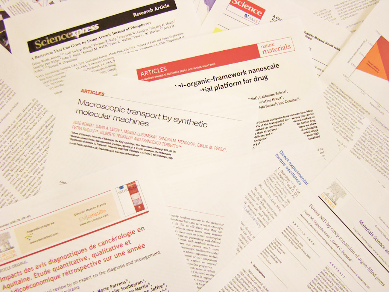
Recherche-Action
- Initiation à la recherche scientifique
- Acquisition des capacités en recherches qualitative et quantitative
- Outils numériques de collecte de données
- Cartographie et analyse des données
- Formation des enquêteurs pour la collecte de données primaires
- Rédaction de produits SIG
- Développement des capacités en ODD, Télédétection, cartographie, SIG et Webmaping
- Analyse Statistique (R, Excel ou SPSS Power Bi)
- Renforcement des capacités en confidentialité des données
Cibles : Universités, entreprises, organisations, personnes physiques
References

Contact Us
MENOTEP (Mesures Environnement Numérisation Objet géograhique Territoires Espaces Produits) – Bureau d’études en géomatique et de formation professionnelle
P.O. Box 5 690 Yaounde, Cameroon
Tel. +237 671 72 73 50
Email : menotep@live.com
![]()